Last Modified: 04/17/2005
Note: More photos and maps will be added after sometime after the 4/16 date for more trail design and flagging.
Click on thumbnail image to view, and back arrow to return to this page.
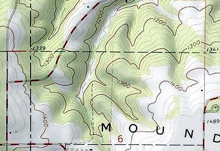
Topographic image of Pleasure Valley:
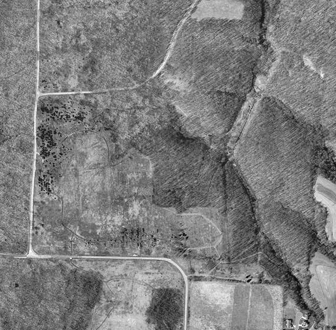
USGS photo of Pleasure Valley:
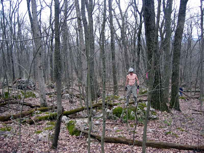
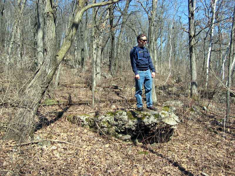
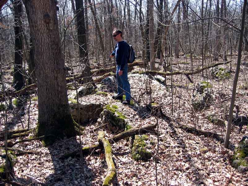
Below: Misc. photos showing the nature of the boulder field down hill area. Rocks range from small to huge, and we are allowed to have braided trails within the area as long as there are no erosion problems, user complaints or safety issues. The wide angle photographs may not illustrate that this boulder field is all on a downward slope.
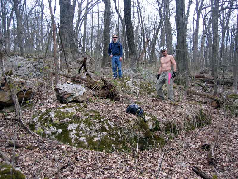
Bob and Walt scout and flag a large rock with several lines to ride.
Bob flagging more lines to ride.
Walter thinking "Can I land this?".
Walter finds a perfect natural launching spot.
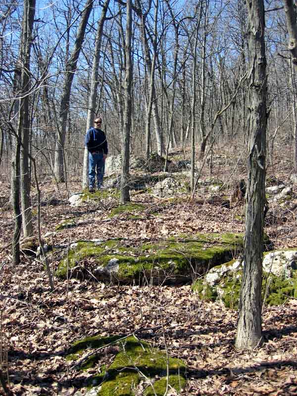
Rocks for every skill level.
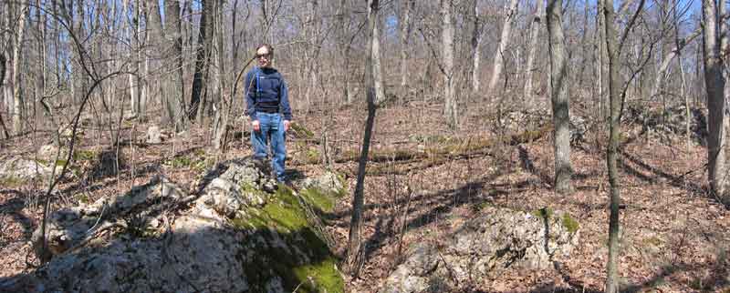
Walter probably thinking "Can I land this?".
Below: Photos of the Pleasure Valley area. The wide angle photographs may not illustrate the elevation and great riding features. Some photos listed here may not be part of riding areas and are listed for the sake of collaboration between park officials and trail designers.
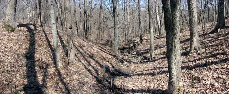
A photo from top of one of the stream beds that become cut glens and great riding features in the Pleasure Valley area.
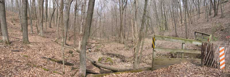
S.E. park, valley bottom, potential crossing by broken bridge and old bench cuts.
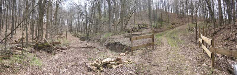
Watersheds and road beds converge high end of valley - looking south. This is a very wide angle shot used for planning purposes, but shows an example of the ridge and contour riding that will be available in this area of the park.
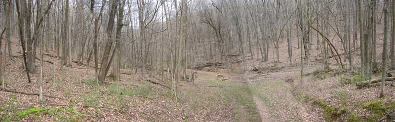
Crossing from bench where watersheds and road beds converge high end of valley - looking north.
Notes: Pleasure Valley has several small drainages that empty into the main valley. They offer a huge variety of terrain to work with. This area has terrain features that will please any type of rider, hiker or skier.
Back to BMSP Trail Work Home (Page 1)